
Last week, the year 12 Geography class departed on a 3 day trip to Twizel/Aoraki Mt Cook to conduct our data collection process for our 2.5 internal assessment.
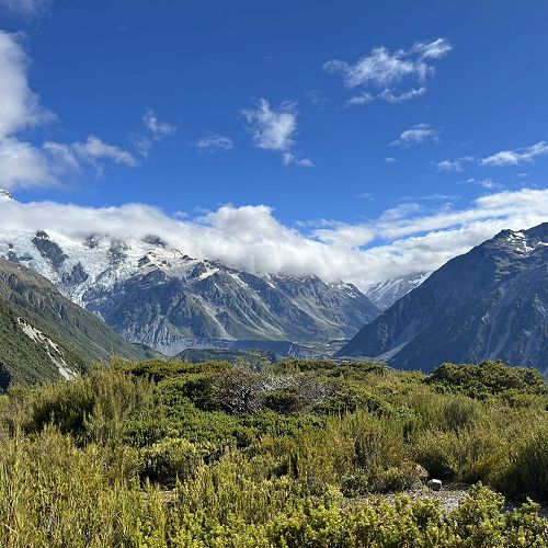
This assessment focuses on vegetation zonation, with our objective being to determine whether or not altitude plays a part in the type and characteristics of vegetation along the Red Tarns track at Mt Cook National Park. The primary aim of this trip was to allow us to carry out our data collection process and help with our general understanding of the processes that form the special landscape of the South Island High Country.
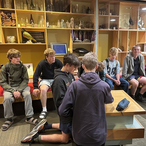
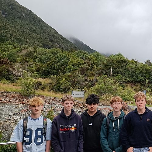
Day one saw us leave behind a not so ‘Dunner Stunner’, and on the road for a three-hour drive bound for Twizel. Here, we stopped for a quick lunch break, then continued on our way to Aoraki/Mt Cook. Upon our arrival, we were greeted by Ray at the visitor centre. Ray has worked in the Department of Conservation for much of his life, and was very knowledgeable on the surrounding landscape. His expertise involved Search and Rescue on the mountain and other voluntary work. His valuable knowledge adapted on what we had learnt prior in class, and even explained the large scale operation that takes place on Mt Cook to ensure safety of climbers, and upkeep of DOC huts. After our lesson with Ray, it was a quick dash to the Hermitage Hotel, where we watched a short documentary. But after a busy day on the road, it was then time to head back to Twizel where we parked up for the night and prepared for the big day ahead of us.
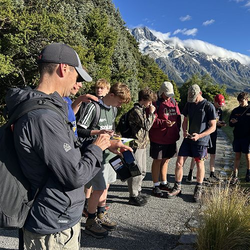
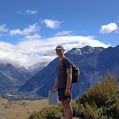
Day two had us up and out of bed early in the morning in order to meet Ray again at the bottom of the Red Tarns track by 9am. The weather had thankfully been a bit more forgiving than what we had originally feared, and at approximately quarter past 9, we had commenced our data collection. The plan was that we would stop off at 5 different sites as we progressed up the mountain. At each site, we recorded various data such as wind speed, temperature, humidity and soil type to help us determine if higher altitudes had influence on vegetation. Thanks to Ray’s expertise, we were able to conduct our research at each site within an hour, before having a quick stop at the top to observe a 6th site and a quick drink. Unfortunately, our time with Ray was cut short after he was called out to assist with an emergency back down in the village. This is just an insight into how important his role is.
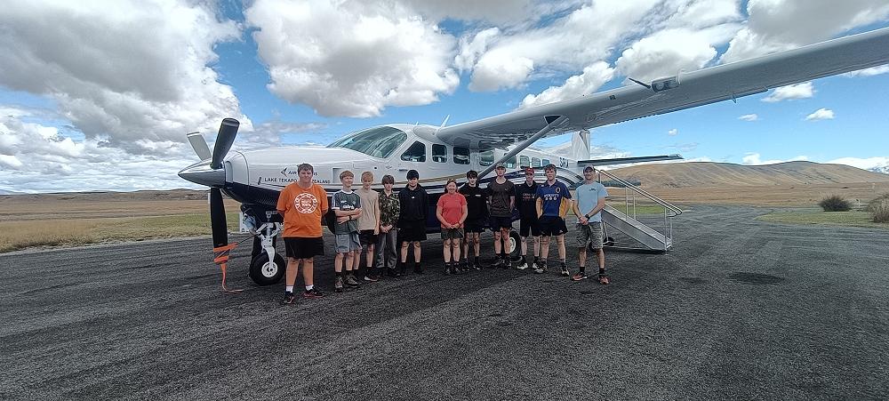
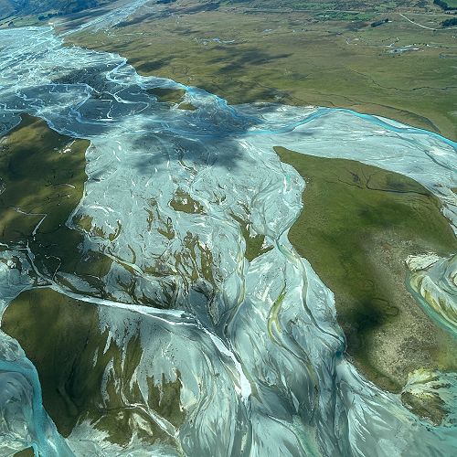
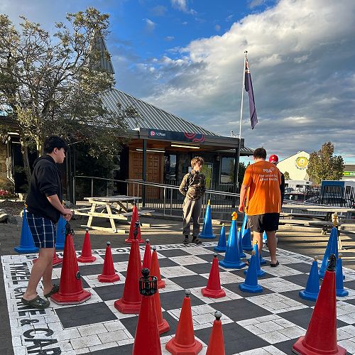
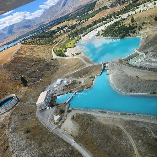
By now, we had some very tired Geographers, and it was time to experience something a bit different for many of us. As part of our trip, we were very lucky to have been offered the unique experience of a 20 minute scenic flight in Tekapo. This experience further helped us with our understanding of the human use of the landscape that we were researching, all while offering us spectacular views over Lake Tekapo. After a look around Tekapo some of the boys were brave enough to have a quick dip in Lake Ohau. Fish and Chips and few games of chess concluded another successful day of our trip.
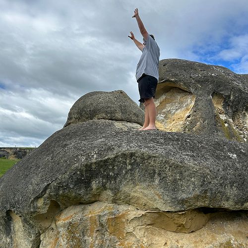
The following morning, it was up and back to reality as we departed back to school, stopping briefly to explore and learn about the geology of the Elephant Rocks near Duntroon. The year 12 Geography class would like to give a huge thanks to Ms Bowden and Mr Clark for giving us the opportunity to attend such a short lived but impactful and meaningful camp. The planning and organisation of these trips takes a significant amount of time, and we are forever grateful to those who helped make this such an awesome experience. We would also like to thank those such as Ray from the Department of Conservation, for contributing to our knowledge and guiding us over the duration of our data collection process.
 Open Event Registration - Interested in enrolling?
 Employment opportunities - click if you're interested in working at McGlashan.